Find out whether a property is recorded on SLUR
Greater Wellington obtains property information that is updated periodically from several external sources so information may vary.
User guide
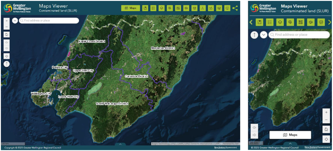
- Explore contaminated land data by using the interactive map.
Desktop Users:
- Zoom in/out – scroll with your mouse wheel or use the + and – buttons in the top-left of the map.
- Pan around – click and drag the map to move around.
Mobile Users:
- Pinch to zoom in and out on the map.
- Drag with your finger to move around the map.
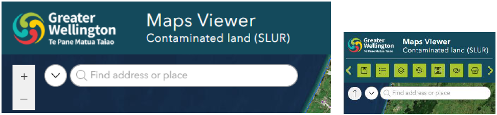
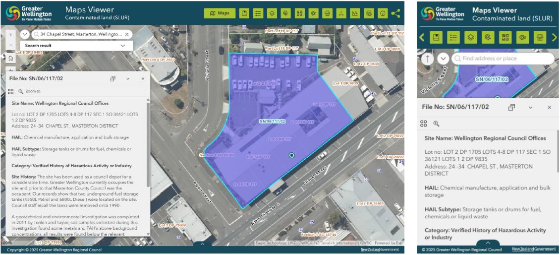
2. Use the search tool to search for an address or place. You may be shown suggestions based on your search. Selecting any of these options will automatically zoom the map in to this location.
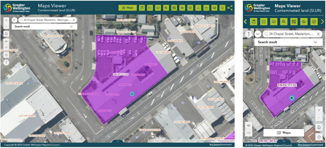
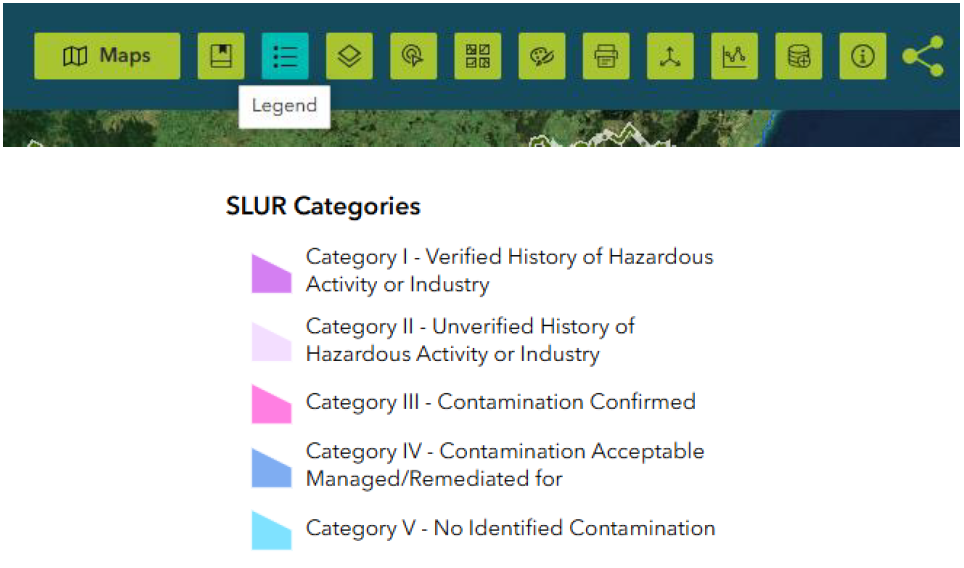
3. Sites are displayed on the map using different colours, which indicate the SLUR status of the property.
A legend is available to help interpret these categories, which can be found in the widget tray above the map.
4. Each SLUR site is uniquely identified using a site number (SN/**/***/02). Click or tap on any site to view its full details in a pop-up panel. Please quote this site number when making a SLUR enquiry.
Get in touch
- Phone:
- 0800 496 734
- Email:
- info@gw.govt.nz