We’re incredibly lucky to live here, but like anywhere, it comes with some hazards. Greater Wellington has that covered with comprehensive structures and plans in place for earthquakes, floods, tsunamis and storms.
We look to our past and the future to be well prepared for emergencies and hazards. We combine the latest science with historical data, current information and future forecasting. We use those assessments to develop policy, land use planning and emergency management planning. All this information is available to help you make informed choices about where you live, work and play.
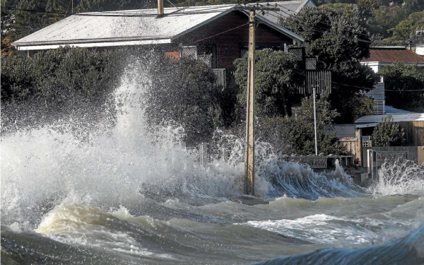
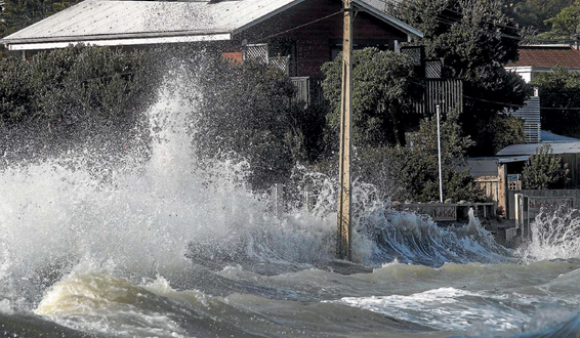
With over 200,000 people in our region living in flood prone areas, it's important to understand your flood risk. Recent events such as Cyclone Gabrielle help us plan for extreme events. This five minute video covers what lessons we have learnt from this event and what Greater Wellington is doing for future preparedness. To learn more about the flood protection works in your area, go to our rivers and streams page.
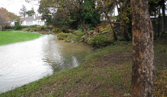
Flooding in the Wellington Region poses a risk to both life and property. Many of our urban and rural communities are at risk.
As well as natural variations in the region's weather, human-induced climate change (often called global warming) is expected to increase the occurrence of hazardous events…
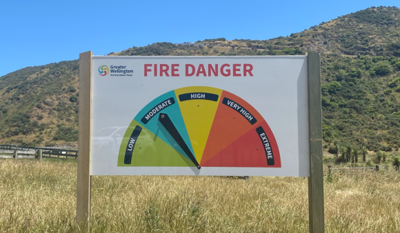
From 2023, Greater Wellington is implementing fire risk levels in your Regional Parks, a critical step in ensuring the safety and well-being of our park…
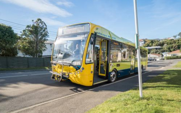
Civil defence and emergency management in our region is coordinated through WREMO, the Wellington Regional Emergency Management Group. Find out how you can get prepared...

Get in touch
- Phone:
- 0800496734
- Email:
- info@gw.govt.nz