Flood hazard management process
Flooding is a significant hazard in the Wellington Region that poses a risk to life, property and infrastructure. Several communities within the region are considered at risk – including urban areas within the Hutt Valley, townships on the Kāpiti Coast, in the Wairarapa and rural areas throughout the region.
Flood hazard modelling is considered a crucial activity in understanding flood risk as it provides the basis for investment and emergency management decisions by Greater Wellington. Flood hazard modelling involves the use of hydrological and hydraulic models to estimate the range of possible floods that could occur in a catchment and the hazard associated with these events. The output produced from flood hazard models is a series of flood hazard maps and tabulated data for each scenario modelled.
Having a good understanding of the flood hazard in an area enables informed decisions to be made about the best ways to manage risk. This may be through managing or reducing the risk to existing development, and future planning decisions such as excluding sensitive land uses (i.e. residential development, hospitals and schools) from higher hazard areas.
Flood hazard maps
One of Greater Wellington’s key roles is to help communities protect themselves from the effects of natural hazards. To do this, our communities need to understand the risk from natural hazards and have affordable and acceptable management solutions in place. We also want to ensure appropriate developments don’t create new problems.
Identifying hazards, such as those caused by river flooding and erosion, is the responsibility of local and territorial authorities under the Resource Management Act.
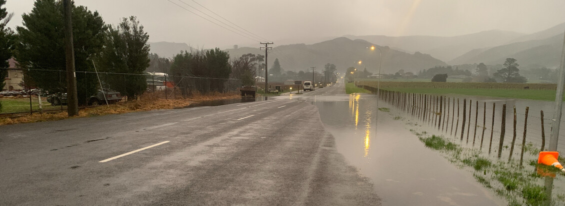
Flood hazard maps inform planning, resilience and emergency preparedness for homes, infrastructure and land use.
Community engagement
Greater Wellington recognise the importance and value of the community’s knowledge and experiences of flooding in their area.
Consultation and collaboration help to gather the most accurate flood information.
The four stages of flood hazard modelling engagement
| Stage 1 | Initial engagement to collect data |
| Stage 2 | Engagement on hydrology and hydraulic modelling |
| Stage 3 | Engagement on DRAFT flood hazard maps |
| Stage 4 | Engagement on final maps and plan |
What types of information are collected?
- Hydrometric data - River flow and rainfall data.
- Catchment data - Land use data, current and historical aerial photography, records of changes in the catchment, such as construction of flood protection structures, long term aggradation or degradation of the river.
- Historical flooding information - Community recollections, photographs, flood marks on structures, flood records, newspaper or social media articles, details of conditions that may have affected flood extent and behaviour and flood incident reports.
- Topographic and Bathymetric data - Cross sections of rivers, and LiDAR information of the catchment.
- Details of structures - a survey of structures within the river channel or floodplain that may affect flood levels and behaviour, details of any major maintenance works.
Why is it important to gather information from the community?
Local communities, particularly residents who have lived in the area for a long time, may hold historic flood information that Greater Wellington is unaware of. This information may be in the form of photographs, recollections, flood marks on buildings or other private structures, or records of damage or disruption.
Access to this information can help with calibration and/or validation of flood hazard models. Collection of historic flood information from communities also encourages people to understand the flood hazard modelling process and may increase community confidence in the final results.
Have your say!
We’re not consulting at the moment. Come back to this page soon for updates.
Get in touch
- Phone:
- 0800 496 734
- Email:
- info@gw.govt.nz