We are currently updating the modelling and information for these maps. More information, including how you can provide feedback, is below.
To find flood hazard information about a specific area, please view our GIS maps online: GWRC GIS flood Hazard Areas or KCDC GIS flood extents.
Flood hazard modelling
Flood hazard modelling involves the use of hydrological and hydraulic models that predict a range of possible flooding outcomes that could occur in the region and the hazards associated with these events. Flood hazard models create maps and data for each scenario.
The models are used by Greater Wellington for flood warning, floodplain management planning, asset management and advice during emergency responses. Greater Wellington shares the models with organisations such as Wellington Region Emergency Management Office (WREMO), territorial authorities and the public for emergency planning and management, district planning, consenting, insurance and ownership information and decision making.
Although we cannot predict exactly what impact the effects of climate change or natural hazards will have on specific locations, the information the models provide will help communities and councils prepare for a range of potential impacts.
We’ve undertaken similar projects on Hutt River / Te Awa Kairangi where flood protection, river restoration and public transport work is now underway.
Why are we doing this?
Up to date maps can be used in the Kāpiti Coast District Plan review and the Whāitua Implementation Programme.
We are also seeing advances in flood modelling computer software, which means this review is timely.
Who’s involved?
Greater Wellington works in partnership with local council, mana whenua, key interest groups, businesses and the wider community.
We have a team of hydrologists and engineers who are experts in their fields of gathering and crunching data about river flows, weather patterns and impacts on the environment. We want to ensure continued access to Kāpiti homes and services, roads and infrastructure to support a thriving community and environment.
Flood Hazard Maps may be integrated into district plans for future-proofing our communities and environments, while also planning for future growth and development.
What’s the process?
We’re updating the flood hazard maps on the Kāpiti Coast for the following catchment areas:
- Ōtaki River including the nearby Waitohu Stream and Mangapouri Stream
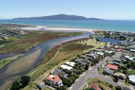
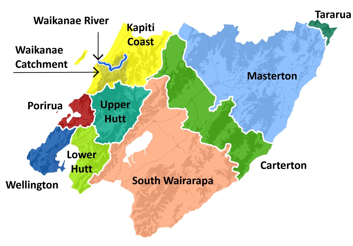
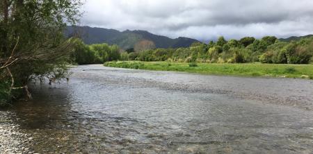
- Waikanae River
- Mangaone Stream
The first step is to analyse rainfall patterns. We use technical experts for this part. Once the rainfall is modelled, we will combine this with river flow data and the information provided on previous events and develop models that help determine where the flood waters might go in the future. This will help develop options for minimising the impacts of the flooding for these communities.
We’ll keep you informed along the way
Beginning December 2024, we’ll update you on project progress and opportunities for the community to provide feedback and get involved. Follow our social media channels, check the website or read your local newspaper for details on consultation and drop-in sessions around Kāpiti flood hazard modelling and maps for your area.
How can the community be involved?
To ensure we capture as much information as possible to develop these models, we need your help to understand the flooding patterns and impacts from rivers and streams in the Kāpiti area.
We value your knowledge and experience of flooding in the area. We want to work with you to build a resilient and prepared community that can still enjoy and flourish in the dynamic environment.
We’d like you to share any photos or stories you might have from previous flooding events from the following areas:
- Ōtaki River and its tributaries – the Waitohu Stream and the Mangapouri Stream.
- Waikanae River
- Mangaone Stream