Regional councils have a role in managing land where it affects water quality and quantity, soil conservation, and natural hazards. We set out how to manage discharges or activities involving these resources, to stop degradation or pollution. These plans tell you what you can or cannot do, and if you might need specific permission to use a resource.
In the Wellington region, our regional plan is called the Natural Resources Plan.
The purpose of the Natural Resources Plan (NRP) is to promote the sustainable and integrated management of land and water in the Wellington region.
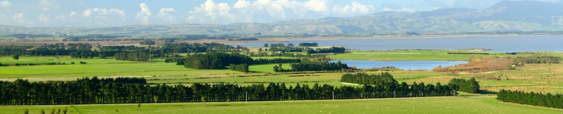
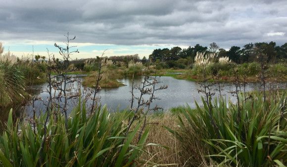
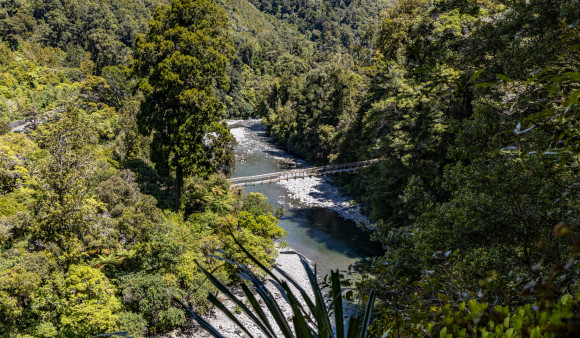
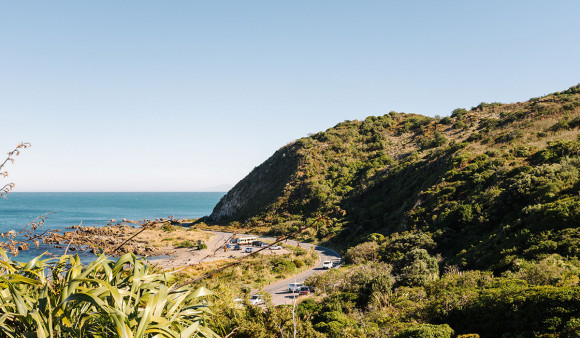
To achieve this, the NRP has objectives, policies and methods (which include rules) to address issues of use, development and protection of land resources and freshwater resources, including the beds and margins of water bodies. The resources covered by the Natural Resources Plan are the Wellington region’s: Coast, Air, Water and Land
The Natural Resources Plan for the Wellington region is an integration and replacement of five regional plans for soil, fresh water, air, discharges to land, and the coastal marine area.